Ready Input Segments
Fast plotting using bearings & distances.
Saves time, improves efficiency in property layout tasks.

Fully offline GIS tool — visualize, analyze, and manage spatial data directly on your computer. No internet required after installation.
Fast plotting using bearings & distances.
Saves time, improves efficiency in property layout tasks.
Start boundary plotting instantly.
Ensures speed and reduces errors in boundary definition.
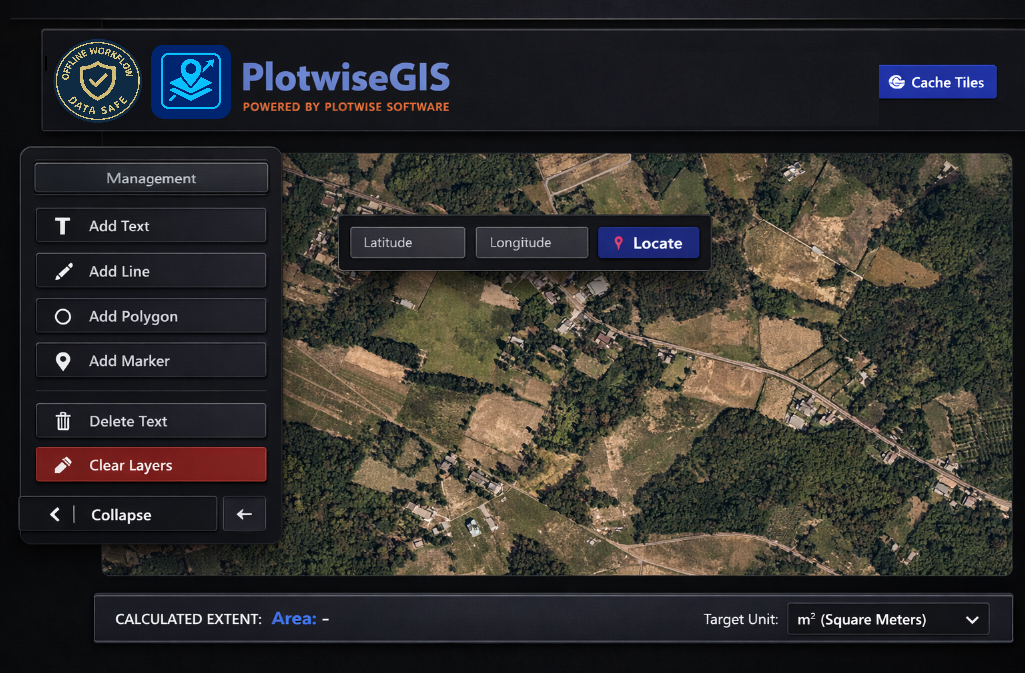
Quick projection of property location.
Strengthens credibility with precise location references.
Work without internet access.
Guarantees continuity in remote or low-connectivity areas.
Share and visualize lot plans easily.
Enhances collaboration and supports formal documentation.
Visualize plots on public maps.
Improves transparency and contextual understanding.
Align app visuals with your brand.
Builds professional identity and client trust.
Designed for simplicity — no specialized software or technical expertise required.
Empowers anyone to map confidently without prior training.
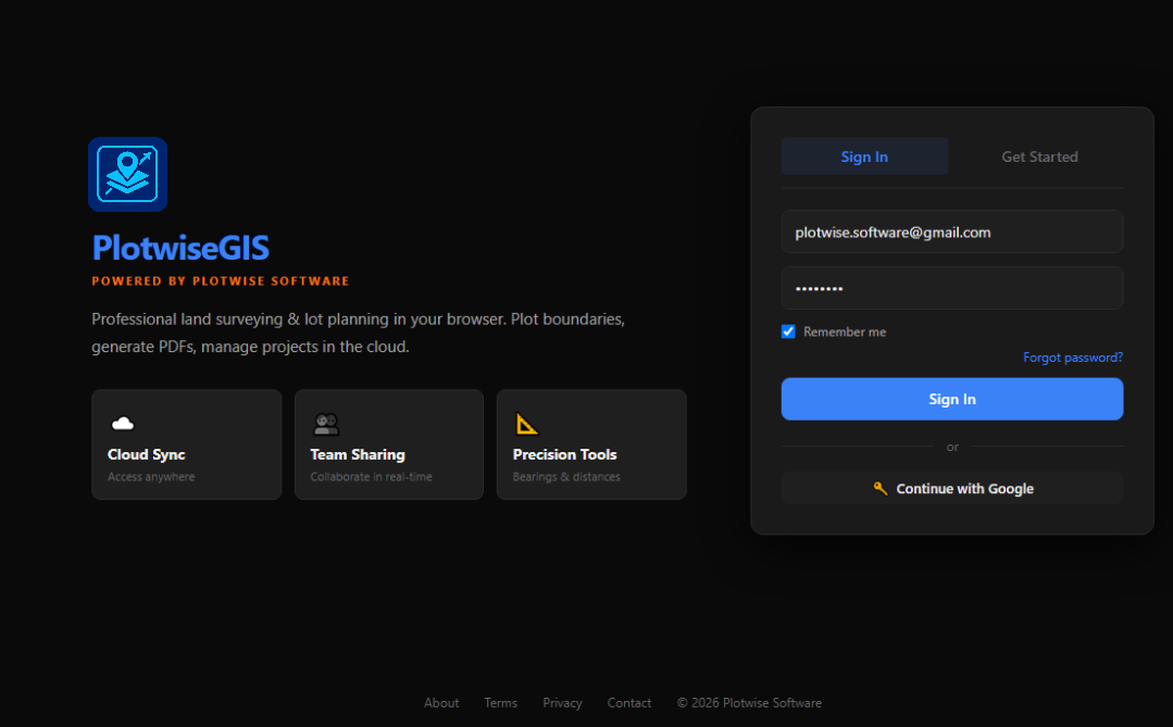
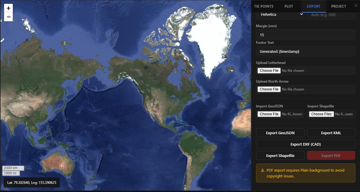
Explore the clean, intuitive interface of PlotwiseGIS.
The ultimate offline mapping ecosystem built specifically for industry leaders.
Banks & Financial Institutions
Local Government Units (LGUs)
Geodetic Engineers
Surveying Companies
Real Estate Appraisers
Property Developers
Government Agencies
Legal Professionals
Educational Institutions
Engineered to eliminate complexity and streamline your geospatial workflows.
Plot directly from land title technical descriptions
No complex CAD or GIS setup required
Generate professional lot plans in minutes
Built for both online and offline operations
Fast, accurate, and user-friendly
Supports industry-standard GIS formats
Enhances productivity and operational efficiency
Improves collateral verification and land validation
Helps identify potential boundary and overlap issues
Protects sensitive property information through local data processing
Standardizes digital lot plotting and reporting
PlotwiseGIS_Setup_v2.0.0.exe from the official Google Drive link above.PlotwiseGIS uses machine-bound validation to ensure secure licensing.
If activation fails, check your internet connection or contact support.
Need help? Contact us at plotwise.software@gmail.com